
FAQ: CORS - Real time corrections
UGRF NTRIP
IP/Domain: ugrf.mlhud.go.ug
Port: 2101
IP/Domain: ugrf.mlhud.go.ug
Port: 2101
Configuring your GNSS receiver to connect to the UGRF network involves several steps to ensure that your equipment is set up properly for high-precision data collection. Here's how you can do it:
- Register: First, ensure you have registered for UGRF services through the Spider Business Center. This will give you access to the necessary configurations and settings for your receiver.
- Select Receiver Settings: On your GNSS receiver model navigate to the receiver’s configuration settings menu. Ensure your receiver supports the NTRIP protocol, which is used by UGRF for data streaming.
- Connection Details: Input the UGRF network's IP address, port number, and any other relevant parameters specific to your region.
- IP address: ugrf.mlhud.go.ug
- Port: 2101
- Datum: WGS84
- Projection: UTM
- Zone: 35 or 36
- Hemisphere N or S
- Authentication: Enter your login credentials (Ntrip username and Ntrip password) to authenticate your connection to the UGRF network. These credentials are provided after registering with the Spider Business Center.
- Choosing Mountpoint: From the source table you can easily access all the different mount points available and choose according to your preference.
- Test the Connection: Test by checking the status of the GNSS receiver. Ensure that it is successfully receiving corrections from the UGRF CORS network. You should see an indication of signal strength and corrections being received in real-time.
No, you cannot use the same credentials for more than one machine simultaneously when accessing the UGRF network. Each set of credentials is tied to a specific user account and is intended for use on a single device at a time. Attempting to use the same credentials on multiple machines simultaneously can result in connection issues. If you need to use multiple devices, you can request additional accounts through the UGRF support team. Each account will have its own unique credentials to ensure smooth operation and compliance with the system's guidelines. Anyhow you can use same credentials on different machines as long as it is not at the same moment.
You can monitor the real-time status of a CORS station through your Spider Business Center (SBC) account. The system provides detailed information about each station, including its operational status and data availability. To access this, log in to your account, navigate to the Live status section, and from this you will be to see site status for all the 40 CORS stations.
Regular monitoring ensures you can quickly identify any disruptions or downtime and adjust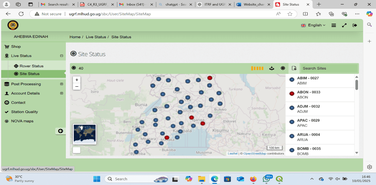
Regular monitoring ensures you can quickly identify any disruptions or downtime and adjust
Yes, UGRF real-time correction services are available 24/7, ensuring continuous access to high-precision GNSS corrections for your surveying and geospatial tasks. However, occasional downtime may occur due to scheduled maintenance, updates, or unforeseen technical issues. UGRF strives to minimize service interruptions and ensure that the network remains reliable and accessible for real-time corrections at all times
UGRF CORS stations continuously collect GNSS data, which is then processed to generate real-time corrections.
Users connect their GNSS receivers to the UGRF network via the NTRIP protocol. The GNSS receiver receives real-time correction data in the form of RTCM messages, which are used to correct the positioning errors of the GNSS signals, providing centimeter-level accuracy for real-time applications.
Users connect their GNSS receivers to the UGRF network via the NTRIP protocol. The GNSS receiver receives real-time correction data in the form of RTCM messages, which are used to correct the positioning errors of the GNSS signals, providing centimeter-level accuracy for real-time applications.
The accuracy of RTK positioning depends on the distance between the user and the nearest CORS station, we expect good accuracy (better than 1 to 2 cm) within a radius of 20km from a station. Most GNSS receivers display the accuracy you are working with as you move away from the station.
Using Network RTK (Nearest, VRS) is recommended as it uses data from multiple stations to improve accuracy, even for users farther from individual stations. With VRS you can stay within 5cm accuracy within 80km.
Using Network RTK (Nearest, VRS) is recommended as it uses data from multiple stations to improve accuracy, even for users farther from individual stations. With VRS you can stay within 5cm accuracy within 80km.
A Virtual Reference Station (VRS) is a method used in Real-Time Kinematic (RTK) GNSS positioning that allows users to obtain real-time corrections without the need for a physical base station at their survey location. Instead of relying on a fixed, nearby base station, the UGRF system generates a 'virtual' base station using data from multiple nearby Continuously Operating Reference Stations (CORS) in the network.
Once you connect your GNSS equipment to the UGRF network, you can select the appropriate mountpoint based on your survey method. The available mountpoint options are detailed in the source table on the UGRF interface, allowing you to make an informed decision based on your specific surveying needs. There are two primary options: single-station RTK and network-based RTK.
- Single-Base RTK:
This method uses a specific base station, such as ENTB, GULU, SRTI, or MBRA. Single-station RTK provides centimeter-level accuracy but is limited to a shorter range, typically up to 20 km from the base station. It is best suited for localized surveying projects where the user is within the range of the chosen base station.
Nearest:is a form of Single base RTK where the system will automatically select the base, choosing the nearest base from your location - Network-Based RTK:
Network-based RTK, which includes options like I-Max and VRS, offers centimeter-level accuracy over longer distances, typically up to 80 km. This method relies on a network of CORS stations to generate real-time corrections and is ideal for larger-scale surveying projects or when working in areas where a single base station might not be within range.